Canada is too large to map in the same way that normal-sized countries can be portrayed, so we have prepared a political map of the country for this edition on one side, with each province or territory designated by a different colour and the road and rail network portrayed. Please keep in mind that Nunavut is four times larger than Europe, and that at least three provinces are each larger than all of Europe put together, and the vastness of Canada starts to sink in. Open this side and imagine spending six days and seven nights on a train just going from Toronto to Vancouver. This is a very accurate map, prepared by the Canada Map Office, and is in English and French. The other side of the page is where we have become innovative. It consists of 10 large inset maps of particularly noteworthy parts of the country. For example, the Rocky Mountains and Yukon have expanded coverage, as does Newfoundland, the Toronto region, southern Saskatchewan and Manitoba, and the Ottawa to Montreal to Quebec City portion of central Canada. In other words, we portray the entire country on one side and the most important segments for tourism on the other side. The map is printed on a very durable paper.
Relaterede varer
-
Tilbud!
 prisvogter
The President’s Daughter
Original price was: 85,95 kr..68,76 kr.Current price is: 68,76 kr.. Tilføj til kurv -
Tilbud!
 Bøger under 100 kr
Among Thieves
Original price was: 85,95 kr..68,76 kr.Current price is: 68,76 kr.. Tilføj til kurv -

-
Tilbud!
 Bestsellers
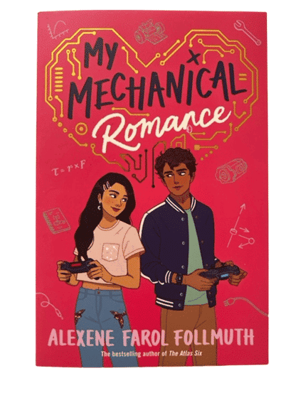
My Mechanical Romance
Original price was: 82,95 kr..66,36 kr.Current price is: 66,36 kr.. Tilføj til kurv -
Tilbud!
 Andet i skønlitteratur på engelsk
It’s Not Summer Without You
Original price was: 114,95 kr..89,95 kr.Current price is: 89,95 kr.. Tilføj til kurv
Relaterede varer
-
Tilbud!
 Bøger under 100 kr
State of Terror
Original price was: 85,95 kr..68,76 kr.Current price is: 68,76 kr.. Tilføj til kurv -
Tilbud!
 prisvogter
A Life on Our Planet
Original price was: 125,95 kr..100,76 kr.Current price is: 100,76 kr.. Tilføj til kurv -
Tilbud!
 Bestseller - google
Ugly Love
Original price was: 172,95 kr..165,95 kr.Current price is: 165,95 kr.. Tilføj til kurv -

-
Tilbud!
 prisvogter
Shackleton
Original price was: 105,95 kr..84,76 kr.Current price is: 84,76 kr.. Tilføj til kurv