1:760.000 (one inch to 12,3 miles).
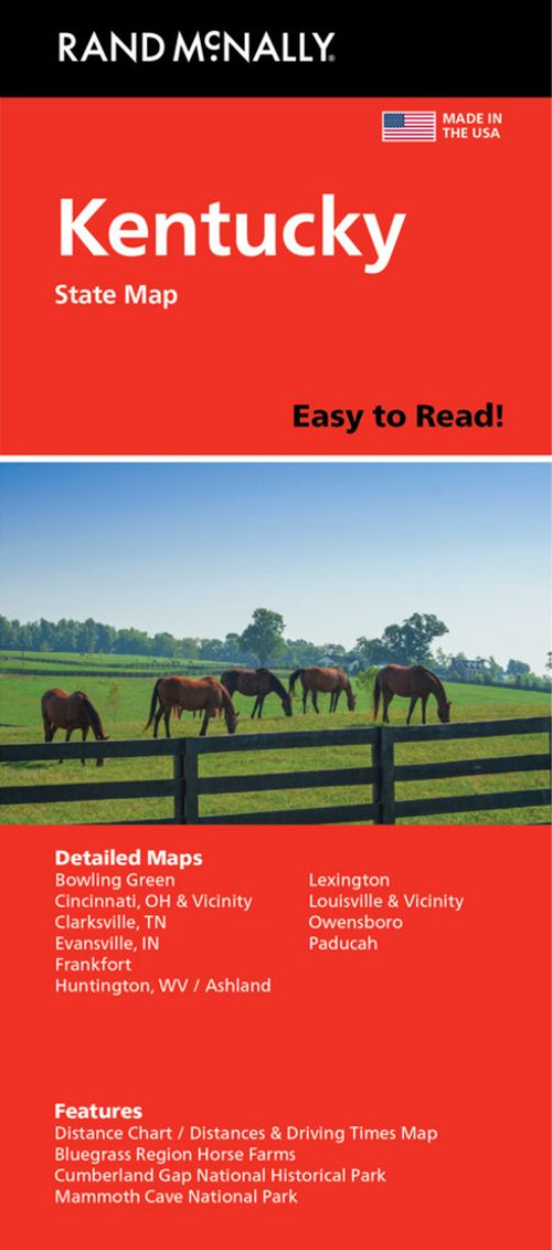
Rand McNally’s Easy To Read State Folded Map is a must-have for anyone traveling in and around Kentucky, offering unbeatable accuracy and reliability at a great price. Our trusted cartography shows all Interstate, U.S., state, and county highways, along with clearly indicated parks, points of interest, airports, county boundaries, and streets. The easy-to-use legend and detailed index make for quick and easy location of destinations. You’ll see why Rand McNally folded maps have been the trusted standard for years. – Regularly updated, full-color maps. – 48% larger map with a bigger type size than the Rand McNally Folded Map. – Clearly labeled Interstate, U.S., state, and county highways. – Indications of parks, points of interest, airports, county boundaries, and more. – Mileage and driving times map. Coverage Area Detailed maps of: Ashland, Bowling Green, Covington/Cincinnati, OH; Cumberland Gap National Park, Evansville, IN; Lexington/Frankfort & the Bluegrass Region, Louisville, Mammoth Cave National Park, Owensboro, Paducah.

 prisvogter
 prisvogter
 prisvogter


 Bøger under 100 kr
 prisvogter