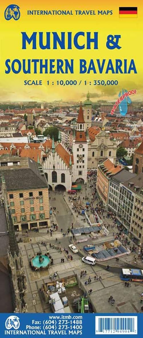
The map covers from the Olympic Park in the north to the ring road in the south and has both a regional inset map of the hinterland of Munich and a map of the tram lines. The back cover has a very convenient schematic map of the U and S train lines. The other side of the sheet is a very detailed map of southern Bavaria., from the Bodensee at Linden to Passau and as far north as Regensburg. Stuttgart is just off the map.