- Gratis fragt over 799 kr.
- 3-5 dages levering
- Trustpilot
- Pricerunner
Leveringstid: 3-5 Hverdage
Nantes – Vannes
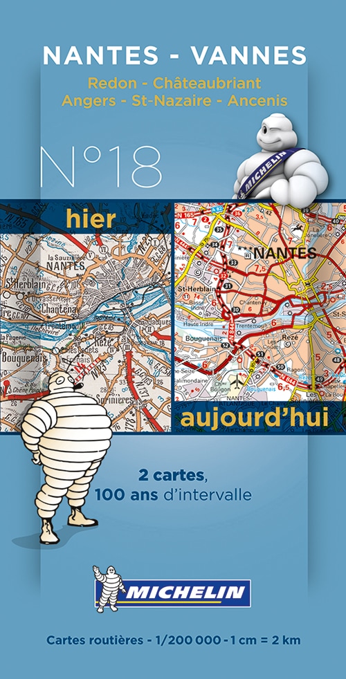
New and historical map of Nantes – Vannes in a smart plastic sleeve.
Commemorating the 100th anniversary of the 1st World War and celebrating 100 years of its mapping scale 1/200,000, Michelin proudly introduces a new historical map collection.
The Nantes – Vannes centenary map includes a facsimile of early 20th century mapping and the same map from today, both scaled 1/200,000. This pack offers a unique view of what cities such as Nantes, Vannes, Redon, Chateaubriant, Angers, Saint Nazaire and Ancenis looked like before the war and how they look like today.
94,95 kr.
På lager: På lager
Varenummer: 9782067192263
Sidetal: 0
Sprog: Fransk
Kategorier: Bøger
New and historical map of Nantes – Vannes in a smart plastic sleeve.
Commemorating the 100th anniversary of the 1st World War and celebrating 100 years of its mapping scale 1/200,000, Michelin proudly introduces a new historical map collection.
The Nantes – Vannes centenary map includes a facsimile of early 20th century mapping and the same map from today, both scaled 1/200,000. This pack offers a unique view of what cities such as Nantes, Vannes, Redon, Chateaubriant, Angers, Saint Nazaire and Ancenis looked like before the war and how they look like today.
| Forlag | Michelin |
|---|---|
| Udgivelsesdato | |
| Serie | Michelin France Centenary Map |
Relaterede varer
-
Bøger under 100 kr
State of Terror
85,95 kr.Original price was: 85,95 kr..68,76 kr.Current price is: 68,76 kr.. Tilføj til kurv
- Stort udvalg
- Fri fragt ved køb over 799,-
- Levering ned til 1-2 hverdage
- Nem retur
- 30 dages returret
Nantes – Vannes
SKU: 9782067192263
94,95 kr.
Leveringstid: 3-5 Hverdage
Kategorier: Bøger
Sprog: Fransk
Sidetal: 0
New and historical map of Nantes – Vannes in a smart plastic sleeve.
Commemorating the 100th anniversary of the 1st World War and celebrating 100 years of its mapping scale 1/200,000, Michelin proudly introduces a new historical map collection.
The Nantes – Vannes centenary map includes a facsimile of early 20th century mapping and the same map from today, both scaled 1/200,000. This pack offers a unique view of what cities such as Nantes, Vannes, Redon, Chateaubriant, Angers, Saint Nazaire and Ancenis looked like before the war and how they look like today.
| Forlag | Michelin |
|---|---|
| Udgivelsesdato | |
| Serie | Michelin France Centenary Map |
Relaterede varer
-
prisvogter
Sweet Revenge
85,95 kr.Original price was: 85,95 kr..68,76 kr.Current price is: 68,76 kr.. Tilføj til kurv -
prisvogter
The Love Hypothesis
131,95 kr.Original price was: 131,95 kr..89,95 kr.Current price is: 89,95 kr.. Tilføj til kurv -
Bøger under 100 kr
Among Thieves
85,95 kr.Original price was: 85,95 kr..68,76 kr.Current price is: 68,76 kr.. Tilføj til kurv
- Stort udvalg
- Fri fragt ved køb over 799,-
- Levering ned til 1-2 hverdage
- Nem retur
- 30 dages returret


