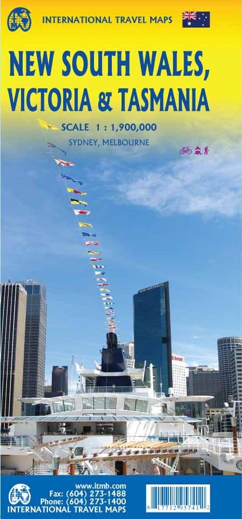
We are pleased to announce the completion of our regional maps covering Australia with this map of the south-eastern segment of the country. This is the most densely-populated part of Australia, stretching from Lismore in the northeast to the Tasman Sea in the south. It includes all of New South Wales (NSW) and Victoria State, with South Australia as far west as Adelaide. It also shows Tasmania, Australias only island state, in good detail, as well as Flinders Island and King Island. The map includes two very large inset maps of Melbourne and of Sydney. This map covers the travel plans of 90% of the visitors travelling around Australia, a continental country that is very difficult to see all of in one trip. The expanded scale weve used allows adequate room to include wilderness campgrounds, recreational vehicle parks, airports, petrol stations in more remote parts of the states, world heritage sites, national and state parks, and a host of points of interest. Scale: 1:1.900.000.
Relaterede varer
-
Tilbud!
 prisvogter
Mental Fitness
Original price was: 85,95 kr..68,76 kr.Current price is: 68,76 kr.. Tilføj til kurv -
Tilbud!
 Bestseller - google
Ugly Love
Original price was: 172,95 kr..165,95 kr.Current price is: 165,95 kr.. Tilføj til kurv -
Tilbud!
 prisvogter
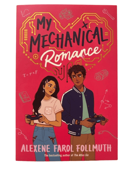
My Mechanical Romance
Original price was: 82,95 kr..66,36 kr.Current price is: 66,36 kr.. Tilføj til kurv -
Tilbud!
 prisvogter
It’s Not Summer Without You
Original price was: 114,95 kr..89,95 kr.Current price is: 89,95 kr.. Tilføj til kurv -
Tilbud!
 prisvogter
Summer Fever
Original price was: 95,95 kr..76,76 kr.Current price is: 76,76 kr.. Tilføj til kurv
Relaterede varer
-
Tilbud!prisvogter
Summer Fever
Original price was: 95,95 kr..76,76 kr.Current price is: 76,76 kr.. Tilføj til kurv -
-
Tilbud!Bestseller - google
Ugly Love
Original price was: 172,95 kr..165,95 kr.Current price is: 165,95 kr.. Tilføj til kurv -
Tilbud!
 Bestsellers
The Love Hypothesis
Original price was: 131,95 kr..89,95 kr.Current price is: 89,95 kr.. Tilføj til kurv -